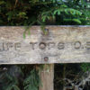
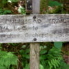
Walker Camp Prong – Alum Cave – Cliff Top (Mt. Le Conte) – Myrtle Point (Mt. Le Conte) – Bullhead Trail – Cherokee Orchard (22km/13.7M, 1060m/3480ft elevation gain, 1430m/4690ft elevation loss)
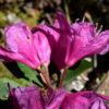
This was my secound hike to Mt. Le Conte. I did it about a week later than three years before in order to enjoy the large carpets formed by R. smokianum on the summit in full bloom. On my first trip most of these plants up there had still been in bud. Unfortunately this time there were nearly no flowers at all since about one or two weeks before all buds had been killed by a late frost. What a disappointment! However, it was an interesting hike anyway.
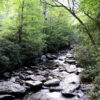
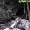
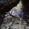
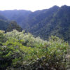
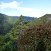
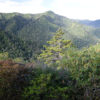
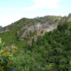
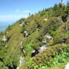
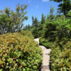
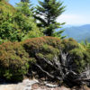
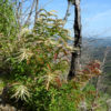
I took the Alum Cave Trail, the quickest and at the same time steepest option to reach Mount Le Conte. It winds its way from the valley of Walker Camp Prong upwards. At lower elevations it was still lined with many a R. maximum. However, after I had left the valley and reached the more rocky sides of Peregrine Peak the vegetation changed. In some places the forest became more sparse and the trees often receded in favour of a mixed ericaceous landscape. Now R. catawbiense, R. smokianum, Kalmia latifolia, Kalmia buxifolia and some blueberries were to be seen.
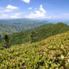
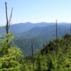
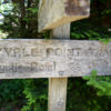
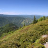
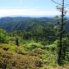
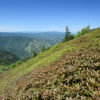
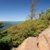
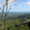
Because of the clear weather the views from Cliff Top and Myrtle Point were fantastic. Fortunately the frost had not killed the young stems and leaves of R. smokianum as well.
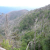
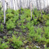
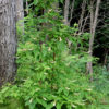
I left the summit via Bullhead Trail. Too bad that most parts of it were in the zone of the 2016 fire. So not many interesting plants were to be seen. At lower elevations shortly before reaching Cherokee Orchard I was surprised to encounter numerous azaleas beside the trail. They were still recovering from the fire and from regularly being cut down by the trail maintenance people and had many runners. A closer look showed, that there were both species, R. calendulaceum and R. cumberlandense, growing together.


